
The Great Smoky Mountains National Park straddles the border of Tennessee and North Carolina and is the most visited national park in the United States with more than 10 million visitors each year. The Park encompasses 521,000 acres and the mountains are the highest in the Appalachian Range.
The first documented inhabitants of the area encompassed by the park were the Cherokee Indians. The Cherokees were farmers and hunters. They had a fairly sophisticated lifestyle and most could read and write the Cherokee language, developed by Sequoia. They lived primarily in log cabin type buildings made of logs and mud. In 1830, the majority of the Cherokee were forced to leave their ancestral homes, complete a forced march and relocate in Oklahoma. Later, some of them returned and rejoined those who had stayed in the forests. Today, this Eastern Band of the Cherokee have a reservation on the North Carolina side of the Great Smoky Mountains National Park. It was the Cherokee people who called this land the "Place of the Blue Smoke" for the beautiful bluish haze that rises in these mountains.
Shortly after the beginning of the 20th century, the logging industry developed in the Smokies and by the mid 1930s almost 65% of the forest had been cut. Railroads and farms grew to support the loggers. In 1934, with the help of many people and particularly, John D. Rockefeller, Jr., the land was purchased and given to the Federal Government. On September 2, 1940, President Franklin D. Roosevelt dedicated the Park to the American people.
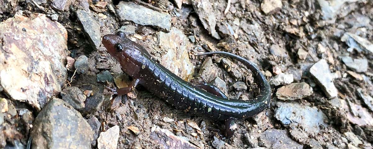
The Great Smoky Mountains National Park is home to the world's most diversified collection of plants, animals, birds and other living creatures. There are more species of plants than any other area in North America! Perhaps the most famous "critter" in the Park is the black bears. Although hunting is not allowed in the Park, bird watching and fishing are permitted year round.

Fishing in the Great Smoky Mountains National Park requires a valid Tennessee or North Carolina fishing license. These are not available in the Park, but are obtainable from several sources in the surrounding towns. A separate trout stamp is not required. The age requirements are: thirteen (13) and up in Tennessee; sixteen (16) and up in North Carolina. Fishing is permitted year-round in open waters, from a half hour before sunrise to a half hour after sunset.
There are some streams closed to fishing. This is to protect the brook trout, which is a threatened species and to study its habitat and lifestyle. A list of these streams can be obtained at a ranger station or visitor center.
Anglers need to know your fish before you go fishing. Federal law strictly prohibits by the possession of Brook Trout. Any Brook Trout caught must be returned immediately to the water unharmed. A combination of 5 small mouth bass, rainbow trout, or brown trout per day is the limit. The minimum size to keep is 7 inches. You may catch up to 20 rock bass per day and there is no size limit. Only one hand-held rod per licensee is permitted and only artificial flies or lures with a single hook may be used. Anglers should stop by a ranger station or a park visitor center to acquire a copy of the rules and seek advice. Safety and common sense should always come first. If there is any doubt, ask!

The Great Smoky Mountains National Park boasts some of the most beautiful and enjoyable picnic areas in this country. No trip to the Smokies is complete without the pleasure and excitement of a "picnic in the park". There are several areas designated specifically for picnics. These areas have pavilions, tables and outdoor grills. They are all located in attractive settings. Please respect your park, clean up and dispose of your trash properly. Improperly disposed garbage attracts bears and other wildlife. Remember! NEVER feed the bears...it is prohibited and extremely dangerous.
| Location | Road | Comments |
|---|---|---|
| Metcalf Bottoms | Little River Road | Pavilion & shaded tables in the woods |
| Cades Cove | Little River Road | Covered |
| Deep Creek | Highway 19 from Cherokee | Covered |
| Heintooga | Balsam Mountain Road | Highest Picnic area in Park |
| Greenbrier | Highway 321 from Gatlinburg | Open in sheltered woods |
| Chimney Tops | Newfound Gap Road | Sheltered in Woods |

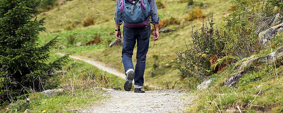
In the Great Smoky Mountain National Park, more than 800 miles of trails provide opportunities for hikers and strollers of all ages and abilities. You can take an easy saunter for a short visit with nature, a week-long backpacking adventure in the forest or anything in between. For those who prefer to commune with nature from the comfort of their vehicle, there are over 200 miles of paved and gravel back roads that provide an escape from the everyday annoyances of traffic and allow the visitor to enjoy some of the more remote and adventurous areas of the park.
| Trail | Location | Round Trip Mileage |
|---|---|---|
| Abrams Falls | Western end of the Cades Cove Loop Road | 5 Miles |
| Chasteen Creek Falls | Smokemont Campground | 4 Miles |
| Grotto Falls | Roaring Fork Loop Road | 3 Miles |
| Hen Hollow Falls | Cosby Campground | 4.5 Miles |
| Indian Creek Falls | Deep Creek Campground | 2 Miles |
| Juneywhank Falls | Deep Creek Road, 1/4 mile from campground amphitheater | .6 Miles |
| Laurel Falls | Little River Road | 2 1/2 Miles |
| Rainbow Falls | Cherokee Orchard Road | 5.5 Miles |
| Ramsay Cascades | Greenbrier Cove | 8 Miles |
| Old Sugarlands | Stone Bridge at Sugarlands Park Headquarters | .5 Miles |
| Gregory Bald | Cades Cove at the turnaround on Forge Creek Road | 11 Miles |
| Andrews Bald | Clingman's Dome Parking Area | 4 Miles |
| Mount Cammerer | Low Gap Trail in Cosby Campground | 12 Miles |
| Walker Sisters Farmstead | Greenbrier School off Lyon Springs Road in Wears Valley | 2 Miles |
| Charlie's Bunion | Newfound Gap head east on the Appalachian Trail (AT) | 9 Miles |

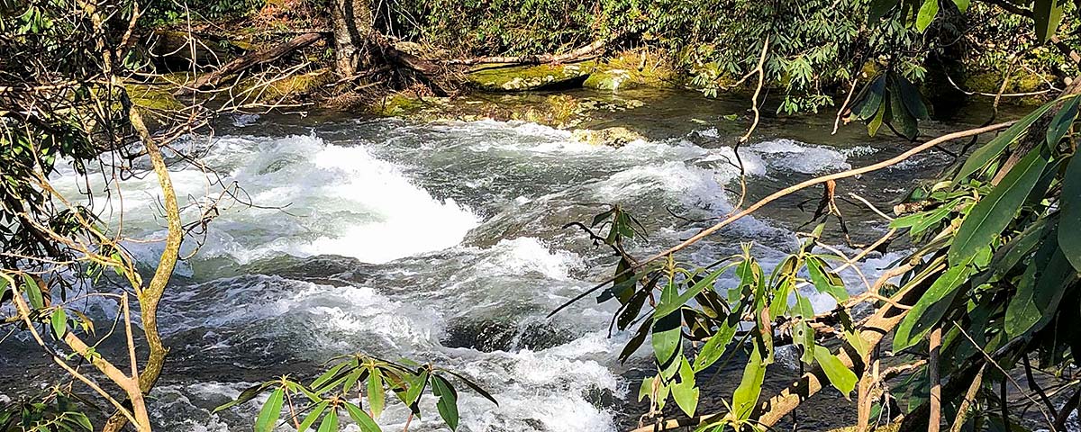
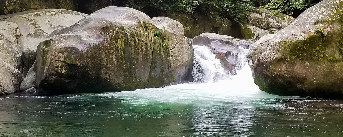
Waterfalls and Cascades hold a special fascination for people. In the Smokies, water has shaped the mountains and valleys into their present form. Waterfalls focus the magic of water and turn it into a personal, sensory experience. Waterfalls tend to be soothing and stress reducing.
Waterfalls and cascades are beautiful but are also potentially dangerous. Please use common sense and exercise caution when visiting the waterfalls and cascades. Read all the signs and observe the posted warnings. They are there for your safety and enjoyment.
Below is a chart listing the most popular waterfalls in the Great Smoky Mountains National Park.
| Destination | Approximate Roundtrip Mileage | Degree of Difficulty | Height of Falls |
|---|---|---|---|
| Abrams Falls | 5 miles | moderate | 20 feet |
| Grotto Falls | 3 miles | moderate | 25 feet |
| Hen Wallow Falls | 4 1/2 miles | moderate | 90 feet |
| Indian Creek Falls | 1 1/2 miles | easy | 25 feet |
| Juney Whank Falls | 1 mile | moderate | 90 feet |
| Laurel Falls | 2 1/2 miles | moderate | 80 feet |
| Mingo Falls | 1/2 mile | moderate | 120 feet |
| Mouse Creek Falls | 4 miles | moderste | 45 feet |
| Rainbow Falls | 5 1/2 miles | moderate | 80 feet |
| Ramsay Cascades | 8 miles | strenuous | 100 feet |
| Tom Branch Falls | 1/2 mile | easy | 75 feet |
Additional information about hiking can be obtained by calling the Park at (865) 436-1200 or visiting their web site at http://www.nps.gov/grsm
For comprehensive information concerning the Great Smoky Mountains National Park, please visit one of the two park visitors centers. Sugarlands is on the Tennessee side just outside of the town of Gatlinburg and Oconaluftee is on the North Carolina side just outside of the town of Cherokee. These centers offer information, books, pamphlets, maps, and educational materials.